
Description
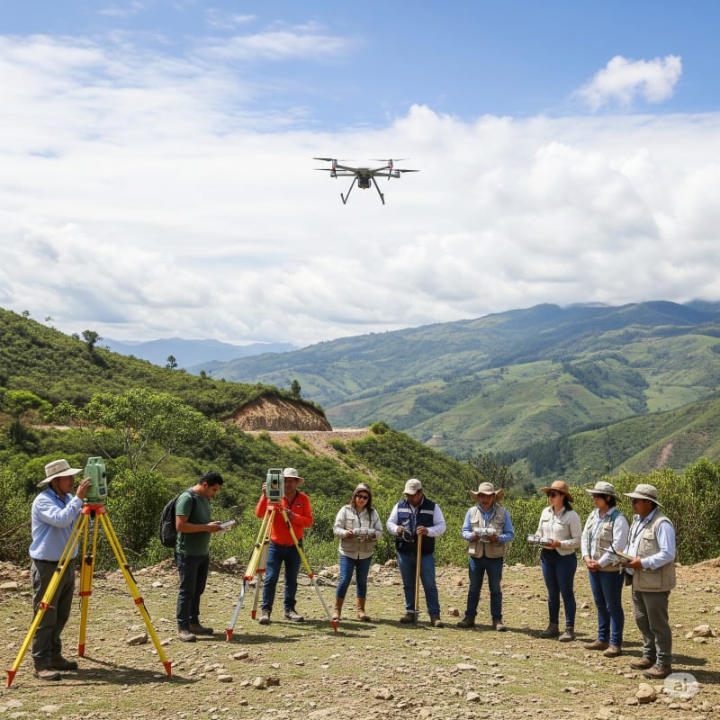
The project consisted of the execution of the Identification Studies (EI) and Technical, Economic, Social and Environmental (TESA) necessary for the construction of 76 kilometers of the Chulumani - Irupana - Sacambaya road, Cajuata - Río Sacambaya section. The key technical deliverables of this study included: Road Engineering: Topographic Studies: Surveys with total station and/or GNSS for generating topographic plans to scale, longitudinal and transverse profiles, and work volumes. Geometric Road Design: Development of route alternatives, optimization of horizontal and vertical curves, definition of typical cross-sections and intersection details, under Bolivian ABC regulations. Design of Art Works: Calculation and sizing of drainage structures (culverts, bridges, vaults), retaining walls and complementary works. Geotechnics and Hydrology: Soil and Geology Investigation: Execution of exploratory drilling, test pits, and laboratory tests (Atterberg limits, granulometry, CBR, direct shear, unconfined compression) for the classification and characterization of subgrade and embankment materials. Slope Stability Analysis: Geotechnical modeling to determine safety factors of slopes and design of stabilization solutions (reinforced embankments, berms, anchors). Hydrological Studies: Determination of hydrological design parameters (maximum precipitation, concentration time, design flows) for the sizing of the drainage system. Hydraulic Design: Hydraulic modeling of crossing structures and longitudinal works to ensure efficient water flow and erosion protection. Complementary Studies: Traffic Engineering: Future traffic projections (IMDA) and level of service analysis. Environmental Assessment: Identification of significant impacts and proposal of an Environmental Management Plan (EMP) including mitigation and monitoring measures. Socioeconomics and PRP: Determination of the socioeconomic baseline and development of the Loss Replacement Program, with compensation and rehabilitation plans.
Gallery