
Description
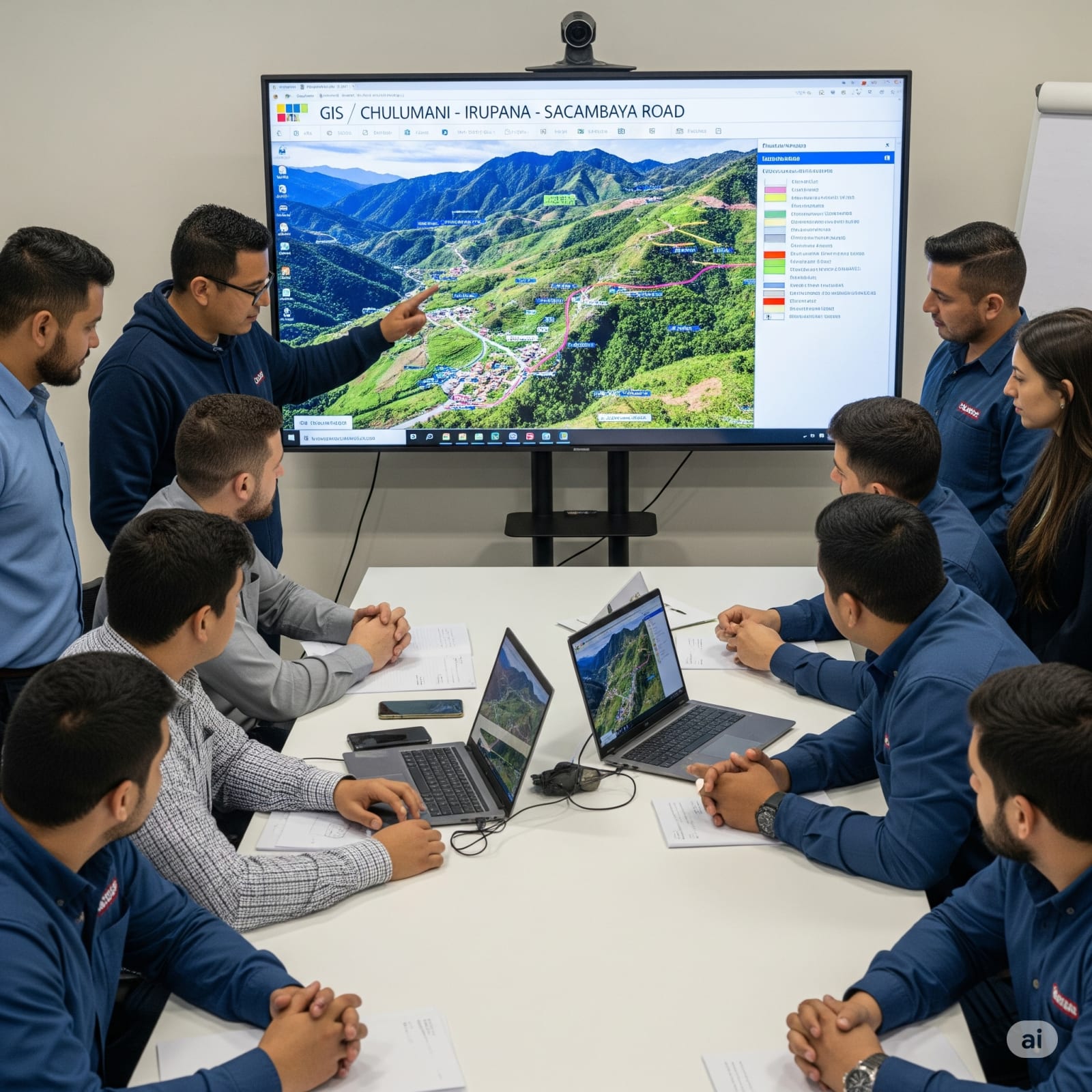
The project consisted of the development of the design of a Geographic Information System (GIS) as a support tool for the Comprehensive Study (TESA) of the Chulumani – Irupana – Sacambaya road project. The system was designed to integrate key territorial information and facilitate spatial analysis in technical, social, and environmental decision-making. GIS Content: Population and Inhabitants Information Agricultural Lands Important Buildings Road Structures Relevant Other georeferenced elements relevant to the project's route and area of influence Technical Characteristics of the System: Language and Framework: PHP with Laravel 5.1 under the MVC architecture pattern Report Generation: FPDF version 1.6 Interface and Visualization: ExtJs 5 for grid, table, pagination, and Dashboard management Additional Libraries: jQuery 2.2.3 Georeferencing: OpenMaps Map Server: MapServer Database: MySQL 5 Operating System: Debian GNU/Linux Web Server: Apache The GIS constitutes a robust, scalable, and adaptable tool that allowed consolidating critical spatial data, supporting the multidisciplinary analysis of the study, and facilitating territorial planning linked to the road's route.
Gallery
